| |
MAP NEWS |
1998/99 Year in Review
First Quarter
|
|||||||||||||
 |
 |
 |
|
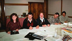
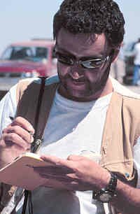
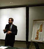
Dr. Andre Panteleyev of XDM Geological Consultants, Canada, visited Peru in October and November. At the offices of INGEMMET he demonstrated the use of the PIMA II (Portable Infrared Mineral Analyzer) equipment for identifying alteration minerals. He also lectured on Metallogeny and Geology of Mineral Deposits, and with INGEMMET staff conducted fieldwork in various mining districts of Peru. Future visits from Dr. Panteleyev will include more Short Course work in Metallogeny planned for March 1999.
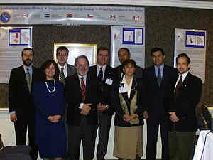
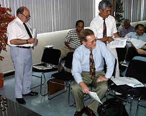
Mid-year Executive Council Meetings for MAP took place in Buenos Aires and Lobos, Argentina from November 13 to 15, 1998. The meetings were attended by representatives from all participating countries except Peru. Highlights included:
· Decision to list all publications from project activities on the MAP WEB page.
· Updating the Cartographic Standards Committee, and naming Mr. Robert Cocking of GSC Vancouver as leader of the group.
· Planning the presentation of a 1:1,000,000 Geological and Metallogenic Map of lat. 10ºS to 30ºS to be coordinated by Dr. Zappettini of SEGEMAR, and a MAP Symposium, at the IX Chilean Geological Conference July 31 to August 4, 2000 in Puerto Varas.
· Rescheduling the Mineral Deposits field trip for May 1999.
· Proposal by Argentina to set up a MAP Multicountry Fellowship Fund for scientific travel and exchange.
· Agreement that each country would send in Work Plans for the 1999/2000 fiscal year by February 1999.
 |
|
 |
 |
In Buenos Aires presentations were given about MAP activities during the X Latin American Geology Conference (November 8-13, 1998).
A short course on Geophysical Modelling was given in early November by Dr. Carmel Lowe of the GSC to SERNAGEOMIN geologists in Santiago, Chile.
GSC Technical Advisor to MAP, Dr. Art Soregaroli, visited SERGEOMIN participants in La Paz, Bolivia in November 1998, and then INGEMMET in Lima, Peru, in December 1998, to review MAP objectives and planning for future activities.
MAP thanks Dr. Orlando Sanjines of SERGEOMIN, and former project leader for Bolivia for his contribution to MAP. Dr. Sanjines finished his work with the project in October 1998. The new Project Leader in Bolivia is Ing. Humberto Mallo Gonzales.
The MAP Web page has received significant attention since its inception in fall 1998. All member countries have been encouraged to send regular updates to Mr. Otto Krauth (MAP Webmaster).
INGEMMET Post-2000 Workplan discussions- Jan/99
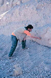
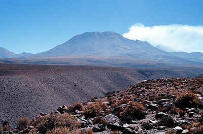
Final airborne Geophysical Survey data from the Puna Austral area, Northwest Argentina, were distributed on January 8, 1999. Thanks to everyone who contributed to the success of this challenging and significant project.
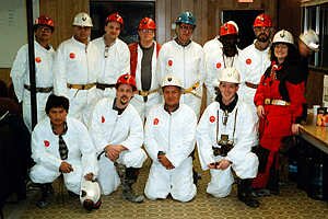
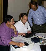
In January 1999, Cartographic Standards Committee Coordinator Mr. Robert Cocking, GSC Vancouver and Mr. Otto Krauth travelled to Peru and Bolivia to meet with cartographic representatives and geologists at INGEMMET in Lima and SERGEOMIN in La Paz for educational meetings. They compared standards in cartography, databases, equipment, and map production techniques in preparation for the first meeting of the cartographic standards committee tentatively planned for August 1999. Similar meetings are to follow with SERNAGEOMIN and SEGEMAR, either in person or online.
In January 1999, Dr. Ramon Aravena and Dr. David Rudolph of the University of Waterloo in Canada visited Chile for a second time to collaborate with SERNAGEOMIN on the Hydrogeology program. A short course included sharing information on groundwater flow and geochemistry, as well as isotope hydrology. This was followed by fieldwork and installation of new instruments at the study site in the Negro Francisco Basin.
In January 1999, a working group consisting of Canadians Dr. Art Soregaroli and Dr. Andre Panteleyev (XDM Geological Consultants) met with INGEMMET management in Peru to initiate a proposal outlining future (post-2000) objectives for INGEMMET. INGEMMET has almost completed its institutional objective of finishing the 1:100,000 scale geological map of Peru.
In March 1999, the GSC added Dr. Jennifer S. Getsinger, P. Geo., to the MAP work team. Educated at Harvard University, University of Washington, and University of British Columbia, Dr. Getsinger has an academic background in anthropology, petrology and structural geology, and she has taught college geology as well as worked in the geothermal and mineral exploration industry. Welcome to the Project!
 |
|
 |
 |