|
|
 |

Click on an image for more details
|
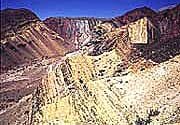
Folded Permian and Tertiary rocks in Quebrada la Angostura, west of Frambal?, Northwest Argentina. |
|
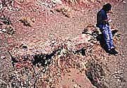
Dr. Raul Seggiaro, of the Salta Delegation of Segemar, sitting on the angular unconformity between Ordovicion and Permian rocks. Filo Colorado, west of Antofagasta de la SIerra, Northwest Argentina. |
|
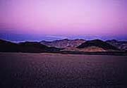
Sunset Southeast of Antofagasta de la Sierra, northwest Argentina. |
|
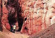
Canyon cut through Permian rocks. Filo Colorado, west of Antofagasta de la SIerra, Northwest Argentina. |
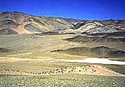
|
View west across Incahuasi valley to Calilaste belt, west of Antofagasta de la Sierra, Northwest Argentina. |
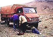
|
Field repair on the Puna west of Antofagasta de la Sierra, Northwest Argentina. |
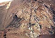
|
Steep fault between altered Ordovicion rocks on right, and Permian rocks on left. In Filo Colorado, west of Antofagasta de la Sierra, Northwest Argentina. |
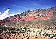
|
Thrust fault in Quebrada la Angostura, west of Frambal?, northwest Argentina. Grey rocks in upper cliffs are Ordovicion age, and red rocks in lower cliffs are Permian. |
|
 |
|

